The March Ocean Environment on the Platinum Coast
As Barbados transitions into the peak of its dry season, the oceanographic conditions along the western shoreline undergo a specific stabilisation process. During March, the island experiences a significant reduction in rainfall, which directly influences the hydrology of the St. James parish coastline. The distinct lack of riverine sediment runoff establishes a baseline for pristine marine conditions, ensuring that the water column remains free from the terrestrial particulates that typically cloud the shallows during the wet season. This environmental clarity is paramount for the health of the inshore ecosystems and provides an optimal window for marine observation.
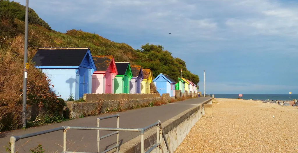
The Folkestone Marine Park serves as the epicentre for monitoring these dry season metrics. Established under the Marine Areas Act, the reserve legally protects 2.2 kilometres of coastline, representing roughly 11 percent of the West Coast’s total length. Furthermore, it covers a total marine area of 2.1 square kilometres. Because the environmental variables are so strictly regulated and monitored within this zone, the March data presents a highly reliable forecast for visitors planning extensive aquatic excursions. Understanding these seasonal shifts is crucial for anyone looking to maximise their time navigating the designated snorkel trail and the surrounding fringing reefs.
Trade Winds and Leeward Advantage
Offshore Wind Dynamics
The geographical orientation of the St. James leeward coast provides a distinct topographical shield against the prevailing Northeast Trade Winds. During March, these winds blow steadily offshore—moving from the landmass out toward the Caribbean Sea. This specific meteorological setup prevents wind-chop interference from reaching the shoreline, creating flat, glassy surface conditions. According to historical tracking by the Barbados Meteorological Services, this offshore flow is what makes the immediate inshore areas incredibly tranquil. Average surf heights along this highly sheltered corridor generally hover around a calm 0 to 0.3 metres (0 to 1 foot), keeping the inner recreational zones perfectly suited for surface-level activities. Visitors looking to rent snorkelling equipment from the visitor centre, or those heading out for paddleboarding, will find the morning surface resistance to be nearly non-existent.
Navigating North Swells
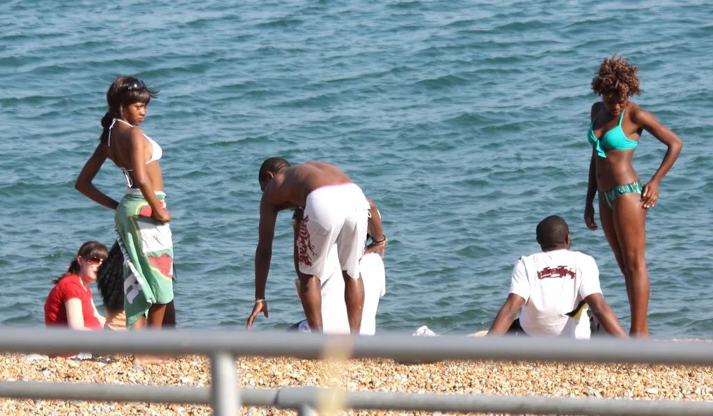
Despite the prevailing calm, the West Coast is occasionally impacted by episodic “North Swells” throughout March. Generated by intense low-pressure systems moving across the North Atlantic, these wrap-around winter swells can briefly alter the topography of the shoreline. Wave heights can increase up to 1.49 metres, accompanied by long 18.45-second wave periods. While this may temporarily reduce visibility in the extreme shallows, it activates the outer reef breaks. Notably, nearby Church Point—a reef break located just north of the park boundaries—sees its most consistent surf conditions during this month, offering clean, rideable waves 42 percent of the time during these specific winter swells. Park lifeguards, who patrol the beach daily from 9:00 AM to 5:00 PM, maintain a close watch on these shifting periods and will advise swimmers accordingly.
Thermal Comfort: Sea Surface Temperatures (SST)
The thermal environment of the Caribbean Sea in March provides highly optimal conditions for prolonged aquatic exposure. The average sea surface temperature (SST) along the West Coast stabilises at an inviting 26.8°C (80.2°F). Data aggregated by global oceanographic monitors at SeaTemperature.org confirms that this specific thermal baseline remains remarkably consistent from the early morning hours through to the late afternoon. Unlike temperate coastal zones where diurnal temperature shifts dictate ocean entry times, the tropical water column off the St. James coast ensures that even early-bird swimmers are greeted with immediate warmth upon entry.
This consistency has a direct impact on the physical preparation required for marine exploration. Due to the 26.8°C average, visitors can comfortably navigate the entirety of the Folkestone Marine Park without any need for neoprene wetsuits, thermal rash guards, or heavy protective gear designed for heat retention. The elimination of thermal protection needs allows for greater mobility and less fatigue when swimming against mild tidal drifts. It also creates a highly controlled environment for scientific observation. The inshore Bellairs Fringing Reef serves as a highly documented living laboratory for McGill University’s Bellairs Research Institute. Operating continuously since 1954, it is Canada’s only tropical research facility, and the stable March temperatures play a critical role in their ongoing coral propagation studies. Visitors interested in the local marine biology can explore further exhibits detailing this research at the Marine Museum & Visitors’ Centre, which operates strictly from 9:00 AM to 5:00 PM, Monday through Friday.
March Ocean Conditions Summary
| Environmental Metric | March Average / Specification | Operational Impact |
|---|---|---|
| Sea Surface Temperature (SST) | 26.8°C (80.2°F) | Prolonged swimming without thermal protection. |
| Horizontal Visibility | 20 metres (65+ feet) | Optimal clarity for reef and marine life observation. |
| Average Surf Height | 0.76 metres (2.5 feet) | Glassy surface ideal for paddleboarding and snorkelling. |
| North Swell Peaks | Up to 1.49 metres | Occasional larger surf; consult lifeguards prior to entry. |
| Peak Clarity Window | 8:45 AM – 9:15 AM | Recommended entry time before commercial boat traffic arrives. |
Thermal Protection and Environmental Directives
While the 26.8°C sea surface temperature removes the necessity for neoprene thermal suits, the high UV index in March demands strict dermal protection. Swimmers are strongly advised to utilise long-sleeved, UV-rated rash guards and apply exclusively mineral-based, reef-safe sunscreens. Chemical UV filters heavily degrade the fragile Bellairs Fringing Reef ecosystem and are strictly discouraged within the boundaries of the marine reserve.
Barbados Marine Trust Environmental Advisory
Underwater Visibility and Clarity Forecasts
The combination of zero riverine runoff and offshore trade winds results in exceptional underwater visibility during the month of March. Horizontal visibility metrics at Folkestone Marine Park routinely reach 20 metres (65+ feet) during the dry season, provided that offshore conditions remain calm and free from immediate North Swell disruptions. This level of clarity is highly sought after by underwater photographers and marine biologists alike, as it allows for uninterrupted observation of the complex patch reefs and the diverse array of pelagic species that transit through the protected corridor.
However, preserving this baseline clarity requires strategic timing. To experience the absolute peak water conditions before the fine inshore sand is churned up by high-volume commercial traffic, visitors are strongly advised to enter the water between 8:45 AM and 9:15 AM. By mid-morning, large catamarans and excursion vessels from the Bridgetown Cruise Terminal begin to anchor near the outer boundaries of the reserve. For those who wish to view the deeper offshore environments under the guidance of professionals, booking a Barbados Turtle and Shipwreck Snorkel Adventure is an excellent way to access the slightly deeper wrecks located just outside the demarcated swim zones without compromising the delicate inshore sediment layer.
Safety Protocols and Zoning Regulations
Navigating the exceptional March visibility requires strict adherence to local maritime law. The Coastal Zone Management Unit (CZMU) enforces critical “No-Boat Zones” at Folkestone Marine Park. These restricted areas are clearly demarcated by large orange or white spherical buoys bobbing on the surface. Swimmers must remain shoreward of these markers at all times to avoid conflict with motorised vessels. If a swimmer intends to navigate more than 30 metres away from the shoreline toward the deeper, secondary patch reefs, the Barbados Marine Trust strongly recommends the deployment of a “Divers Down” flag—a highly visible red rectangular float with a white diagonal stripe—to signal human presence in the water column. Detailed guidelines on these procedures can be found in our comprehensive safety overview.
It is also imperative to differentiate between the designated snorkelling trails and the deep-water technical dive sites. The SS Stavronikita, a 365-foot Greek freighter that was deliberately sunk in 1978, rests perfectly upright at a depth of 120 feet, located roughly a half-mile offshore from the park. Because of this extreme depth, the Stavronikita is strictly a site for experienced, certified scuba divers. The inshore Bellairs reef, conversely, is primarily reserved for surface snorkelling and forms the core of the park’s recreational offering. Visitors seeking an alternative perspective of this shallow ecosystem can also embark on a Folkestone Coral Reef Clear Kayak Tour (priced around $54 USD), which provides a magnificent top-down view of the coral formations without requiring total submersion.
Arrival Logistics for Early Morning Entry
Executing the recommended 8:45 AM water entry strategy requires efficient transport planning. The marine park grounds and the adjacent beach remain open to the public 24/7, allowing early arrivals to secure prime locations along the shoreline before the midday heat peaks. Reaching the facility in Holetown is highly straightforward using the island’s public transit network. The current government-regulated fare to access the St. James coast via the blue-and-yellow Transport Board buses or the privately operated, high-frequency “ZR” (pronounced “zed-R”) route taxis is exactly BDS $3.50 per single journey. For those travelling from the southern parishes or the cruise terminal, it is advisable to review our full guide to local transport and the specific Folkestone transit routes to ensure you arrive exactly as the morning winds calm and the ocean surface turns to glass.
By understanding the precise dynamics of the March ocean environment—from the offshore trade winds to the consistent 26.8°C thermal blanket—visitors can properly plan their itinerary. Whether you intend to document the marine biology alongside the McGill researchers, or simply seek one of the best free beaches on the West Coast for an early morning swim, the pristine hydrology of the dry season ensures that the Platinum Coast delivers an unparalleled coastal experience.